AERIAL VIRTUAL TOURS
What are they?
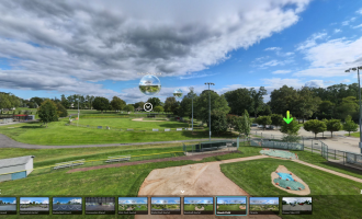
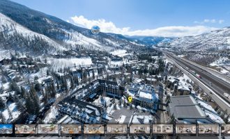
An aerial virtual tour is a type of virtual tour that allows users to explore a location from an aerial perspective, typically using a combination of 3D Photography and Drones, and can include a wide range of information about the location such as landmarks, points of interest, and property lines.
Aerial virtual tours can be used for a variety of purposes, such as promoting a location as a tourist destination, showcasing real estate properties, and providing a bird’s-eye view of a location for planning and development purposes. They can be particularly useful for showcasing large properties such as golf courses, industrial parks, and residential communities.
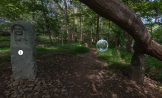
Our one-of-a-kind expertise in Aerial Virtual Tour allows us to bring any area, no matter the size, fully explorable online; Think Google Street View but with way more freedom and personalization! Allow potential visitors of your City, Park or any other business or place that thrives off of on-site foot-traffic, to see the best features your location has to offer and encourage more visitations.
Pictures are not enough!
In the past, just a picture of your City, Town, Park or Business was enough to put you ahead of most competition online; But by todays standards, pictures are not enough to stand out! Photos and videos can be limiting, and in many cases, potential visitors may want to see more. In an area as large as a Town or Park, pictures cannot accurately display everything there is to offer. For instance; certain shops, bars, and restaurants or trails, biking paths, and baseball fields have potential to be missing from photos and videos that would otherwise convince visitors to check it out! With an Aerial Virtual Tour, everything will be on display and put you leagues above any competition!


